
Simrol, Indore topographic map
Click on the map to display elevation.
About this map
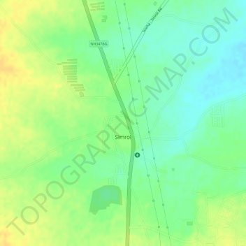
Name: Simrol, Indore topographic map, elevation, terrain.
Average elevation: 583 m
Minimum elevation: 568 m
Maximum elevation: 595 m
Other topographic maps
Click on a map to view its topography, its elevation and its terrain.
Manpur
India > Madhya Pradesh > Mhow Tahsil
Manpur is located at 22°26′N 75°37′E / 22.43°N 75.62°E / 22.43; 75.62. It has an average elevation of 567 metres (1860 feet).
Average elevation: 574 m