
Brustem topographic map
Interactive map
Click on the map to display elevation.
About this map
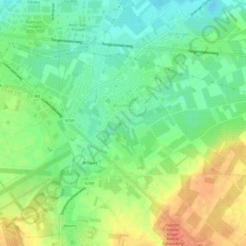
Name: Brustem topographic map, elevation, terrain.
Location: Brustem, Sint-Truiden, Hasselt, Limburg, 3800, Belgien (50.78286 5.20082 50.81535 5.25530)
Average elevation: 66 m
Minimum elevation: 46 m
Maximum elevation: 91 m