
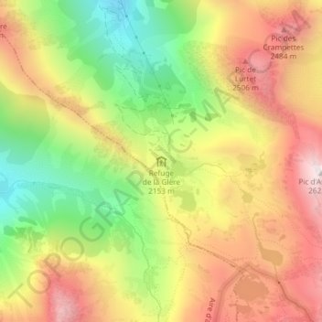
Refuge de la Glère topographic map
Interactive map
Click on the map to display elevation.
About this map
Name: Refuge de la Glère topographic map, elevation, terrain.
Average elevation: 2,151 m
Minimum elevation: 1,656 m
Maximum elevation: 2,618 m
Other topographic maps
Click on a map to view its topography, its elevation and its terrain.
Col du Tourmalet
France > Occitanie > Hautes-Pyrénées > Barèges
Col du Tourmalet, Barèges, Argelès-Gazost, Hautes-Pyrénées, Occitanie, France métropolitaine, 65120, France
Average elevation: 2,078 m