
Sarik-Gajah topographic map
Interactive map
Click on the map to display elevation.
About this map
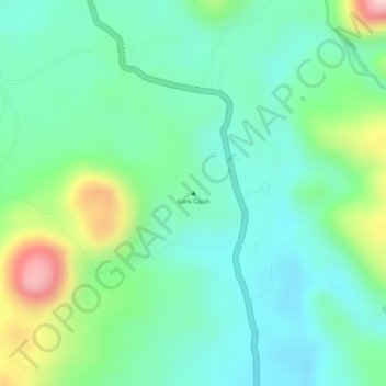
Name: Sarik-Gajah topographic map, elevation, terrain.
Location: Sarik-Gajah, Pasaman, Sumbar, Indonésie (0.07995 100.19995 0.08005 100.20005)
Average elevation: 543 m
Minimum elevation: 456 m
Maximum elevation: 746 m
Other topographic maps
Click on a map to view its topography, its elevation and its terrain.
Marapi
Indonésie > Sumbar > Bukittinggi
Marapi, Bukittinggi, Agam, Sumbar, Indonésie
Average elevation: 2,609 m