
Hochstall topographic map
Interactive map
Click on the map to display elevation.
About this map
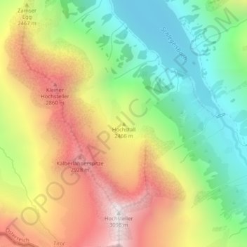
Name: Hochstall topographic map, elevation, terrain.
Location: Hochstall, Finkenberg, Bezirk Schwaz, Österreich (47.00653 11.71215 47.00663 11.71225)
Average elevation: 2,332 m
Minimum elevation: 1,733 m
Maximum elevation: 3,077 m