
Northlake topographic map
Interactive map
Click on the map to display elevation.
About this map
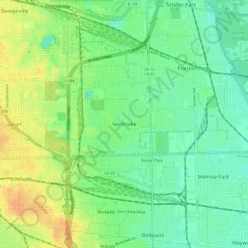
Name: Northlake topographic map, elevation, terrain.
Location: Northlake, Cook County, Illinois, 60164, USA (41.87725 -87.93562 41.95725 -87.85562)
Average elevation: 200 m
Minimum elevation: 187 m
Maximum elevation: 219 m