
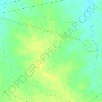
Thuha topographic map
Interactive map
Click on the map to display elevation.
About this map
Name: Thuha topographic map, elevation, terrain.
Average elevation: 308 m
Minimum elevation: 298 m
Maximum elevation: 317 m
Other topographic maps
Click on a map to view its topography, its elevation and its terrain.
Khal
Indien > Madhya Pradesh > Seoni-Malwa Tahsil
Khal, Seoni-Malwa Tahsil, Narmadapuram District, Madhya Pradesh, Indien
Average elevation: 323 m