
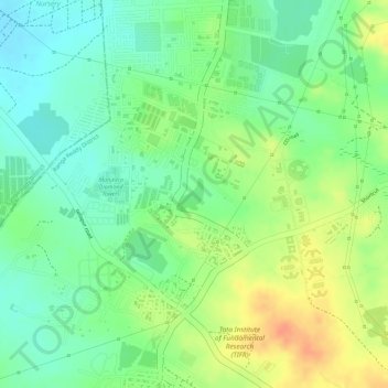
Gopanpally Tank topographic map
Interactive map
Click on the map to display elevation.
About this map
Name: Gopanpally Tank topographic map, elevation, terrain.
Average elevation: 577 m
Minimum elevation: 556 m
Maximum elevation: 601 m
Other topographic maps
Click on a map to view its topography, its elevation and its terrain.
Ward 106 Serilingampally
India > Telangana > Serilingampalle mandal > Hyderabad
Average elevation: 588 m
Durgam Cheruvu Secret Lake Park
India > Telangana > Serilingampalle mandal > Hyderabad
Average elevation: 579 m