
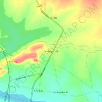
Nidagundi topographic map
Interactive map
Click on the map to display elevation.
About this map
Name: Nidagundi topographic map, elevation, terrain.
Average elevation: 524 m
Minimum elevation: 490 m
Maximum elevation: 578 m
Other topographic maps
Click on a map to view its topography, its elevation and its terrain.
Budni
India > Karnataka > Nidagundi Taluku
Budni, Nidagundi Taluku, Vijayapura District, Karnataka, 582111, India
Average elevation: 558 m