
Grand Lake Towne topographic map
Interactive map
Click on the map to display elevation.
About this map
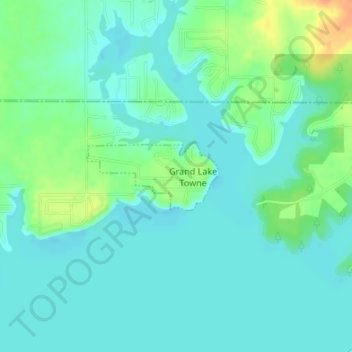
Name: Grand Lake Towne topographic map, elevation, terrain.
Location: Grand Lake Towne, Mayes County, Oklahoma, United States (36.50167 -95.03263 36.50691 -95.02007)
Average elevation: 234 m
Minimum elevation: 224 m
Maximum elevation: 261 m