
Saadat Shahr topographic map
Interactive map
Click on the map to display elevation.
About this map
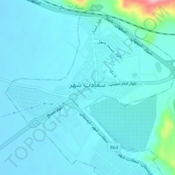
Name: Saadat Shahr topographic map, elevation, terrain.
Location: Saadat Shahr, بخش مرکزی, Pasargad County, Fars Province, Iran (30.06712 53.12117 30.09134 53.15134)
Average elevation: 1,793 m
Minimum elevation: 1,776 m
Maximum elevation: 1,940 m