
บ้านดอนนา topographic map
Interactive map
Click on the map to display elevation.
About this map
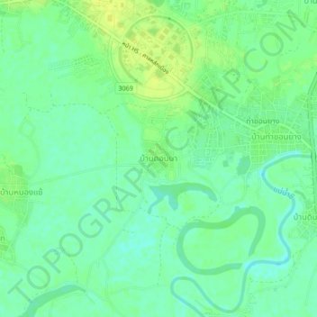
Name: บ้านดอนนา topographic map, elevation, terrain.
Location: บ้านดอนนา, จังหวัดมหาสารคาม, 44150, Thaïlande (16.21205 103.23055 16.25205 103.27055)
Average elevation: 146 m
Minimum elevation: 138 m
Maximum elevation: 155 m