
土庄町 topographic map
Interactive map
Click on the map to display elevation.
About this map
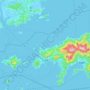
Name: 土庄町 topographic map, elevation, terrain.
Location: 土庄町, 小豆郡, Präfektur Kagawa, 761-4106, Japan (34.43050 134.02819 34.62620 134.33642)
Average elevation: 41 m
Minimum elevation: -5 m
Maximum elevation: 807 m
Other topographic maps
Click on a map to view its topography, its elevation and its terrain.