
Toledo topographic map
Interactive map
Click on the map to display elevation.
About this map
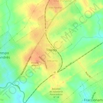
Name: Toledo topographic map, elevation, terrain.
Location: Toledo, Canelones, 91100, Uruguay (-34.75613 -56.10409 -34.72449 -56.07661)
Average elevation: 55 m
Minimum elevation: 34 m
Maximum elevation: 74 m