
Erps-Kwerps topographic map
Interactive map
Click on the map to display elevation.
About this map
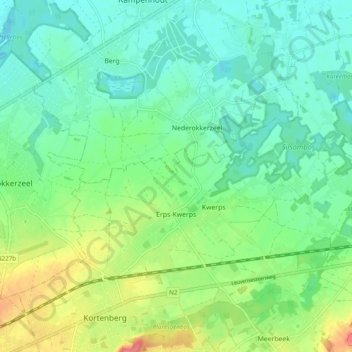
Name: Erps-Kwerps topographic map, elevation, terrain.
Location: Erps-Kwerps, Kortenberg, Löwen, Flämisch-Brabant, 3071, Belgien (50.88610 4.51505 50.93484 4.61238)
Average elevation: 29 m
Minimum elevation: 7 m
Maximum elevation: 79 m