
Länggasse topographic map
Interactive map
Click on the map to display elevation.
About this map
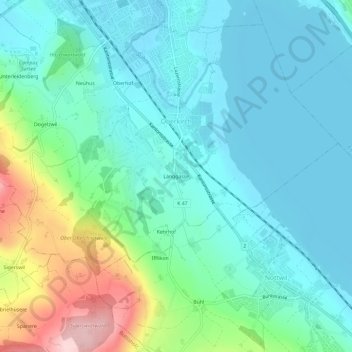
Name: Länggasse topographic map, elevation, terrain.
Location: Länggasse, Oberkirch, Luzern, 6208, Schweiz (47.12939 8.09512 47.16939 8.13512)
Average elevation: 556 m
Minimum elevation: 500 m
Maximum elevation: 742 m