
Osterkopf bei Usseln topographic map
Interactive map
Click on the map to display elevation.
About this map
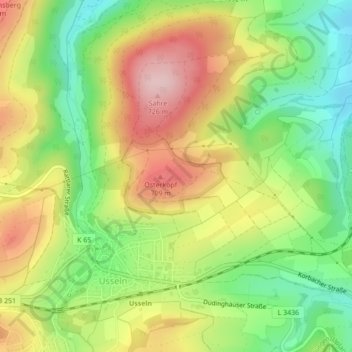
Name: Osterkopf bei Usseln topographic map, elevation, terrain.
Average elevation: 615 m
Minimum elevation: 505 m
Maximum elevation: 741 m
Other topographic maps
Click on a map to view its topography, its elevation and its terrain.
Schneeberg
Deutschland > Hessen > Landkreis Waldeck-Frankenberg > Usseln
Schneeberg, Usseln, Willingen (Upland), Landkreis Waldeck-Frankenberg, Hessen, 34508, Deutschland
Average elevation: 645 m