
Sach Pass topographic map
Interactive map
Click on the map to display elevation.
About this map
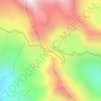
Name: Sach Pass topographic map, elevation, terrain.
Location: Sach Pass, Pangi, Chamba, Himachal Pradesh, India (33.00595 76.23987 33.00605 76.23997)
Average elevation: 4,346 m
Minimum elevation: 3,705 m
Maximum elevation: 4,976 m