
La Plata Peak topographic map
Interactive map
Click on the map to display elevation.
About this map
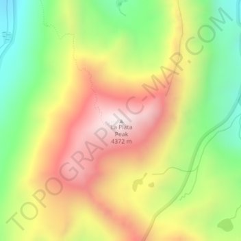
Name: La Plata Peak topographic map, elevation, terrain.
Average elevation: 3,880 m
Minimum elevation: 3,410 m
Maximum elevation: 4,365 m
Other topographic maps
Click on a map to view its topography, its elevation and its terrain.
Salida
Vereinigte Staaten von Amerika > Colorado > Chaffee County > Salida
Salida, Chaffee County, Colorado, Vereinigte Staaten von Amerika
Average elevation: 2,186 m