
St. Vincent topographic map
Interactive map
Click on the map to display elevation.
About this map
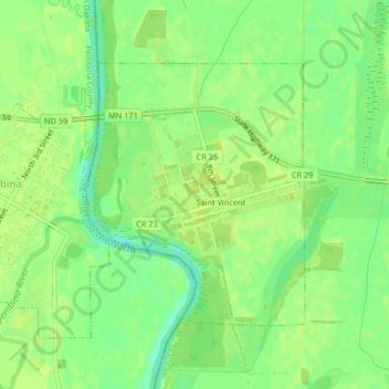
Name: St. Vincent topographic map, elevation, terrain.
Average elevation: 241 m
Minimum elevation: 230 m
Maximum elevation: 245 m
St. Vincent hat ein mit Urwald bedecktes Gebirge (Bonhomme) (die höchste Erhebung der Insel ist der aktive Vulkan Soufrière mit einer Höhe von 1220 m), zahlreiche Bäche und ein angenehmes Klima.