
Páez topographic map
Interactive map
Click on the map to display elevation.
About this map
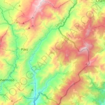
Name: Páez topographic map, elevation, terrain.
Location: Páez, Lengupá, Boyacá, Colombia (4.97431 -73.11824 5.21525 -72.90288)
Average elevation: 1,472 m
Minimum elevation: 512 m
Maximum elevation: 2,833 m