
Pagoh topographic map
Click on the map to display elevation.
About this map
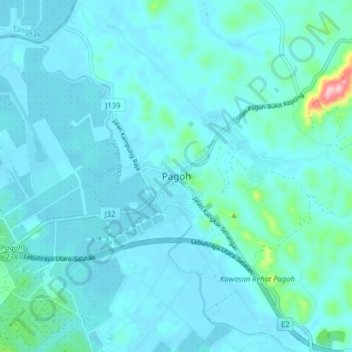
Name: Pagoh topographic map, elevation, terrain.
Location: Pagoh, Muar, Johor, 84600, Malaysia (2.10948 102.73145 2.18948 102.81145)
Average elevation: 21 m
Minimum elevation: 2 m
Maximum elevation: 199 m
Other topographic maps
Click on a map to view its topography, its elevation and its terrain.