
Lohārkhet topographic map
Interactive map
Click on the map to display elevation.
About this map
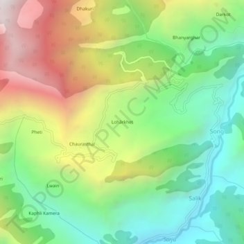
Name: Lohārkhet topographic map, elevation, terrain.
Location: Lohārkhet, Bageshwar, Uttarakhand, India (30.01675 79.91782 30.05675 79.95782)
Average elevation: 1,940 m
Minimum elevation: 1,271 m
Maximum elevation: 2,972 m