L'Étang des Puits topographic map
Interactive map
Click on the map to display elevation.
About this map
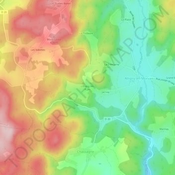
Name: L'Étang des Puits topographic map, elevation, terrain.
Average elevation: 554 m
Minimum elevation: 426 m
Maximum elevation: 703 m

Click on the map to display elevation.
Name: L'Étang des Puits topographic map, elevation, terrain.
Average elevation: 554 m
Minimum elevation: 426 m
Maximum elevation: 703 m