
Fort de Romainville topographic map
Interactive map
Click on the map to display elevation.
About this map
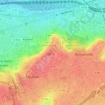
Name: Fort de Romainville topographic map, elevation, terrain.
Average elevation: 93 m
Minimum elevation: 48 m
Maximum elevation: 135 m
Other topographic maps
Click on a map to view its topography, its elevation and its terrain.
Square de la Zac du port
France > Île-de-France > Seine-Saint-Denis > Pantin
Square de la Zac du port, Petit Pantin - Les Limites, Pantin, Bobigny, Seine-Saint-Denis, Île-de-France, France métropolitaine, 93500, France
Average elevation: 68 m