
Várfölde topographic map
Interactive map
Click on the map to display elevation.
About this map
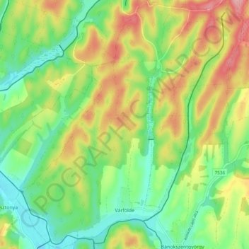
Name: Várfölde topographic map, elevation, terrain.
Average elevation: 222 m
Minimum elevation: 168 m
Maximum elevation: 299 m
Other topographic maps
Click on a map to view its topography, its elevation and its terrain.
Zalaegerszeg
Hungary > Zala > Zalaegerszeg
Zalaegerszeg, Zalaegerszegi járás, Zala, Western Transdanubia, Transdanubia, Hungary
Average elevation: 191 m