
Nahr Atbara topographic map
Interactive map
Click on the map to display elevation.
About this map
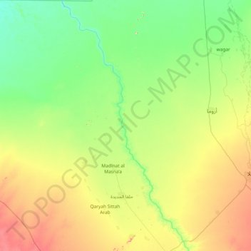
Name: Nahr Atbara topographic map, elevation, terrain.
Location: Nahr Atbara, Kassala, Sudan (15.00865 35.16034 16.43398 36.25422)
Average elevation: 445 m
Minimum elevation: 386 m
Maximum elevation: 631 m