
Six Mile Bay topographic map
Interactive map
Click on the map to display elevation.
About this map
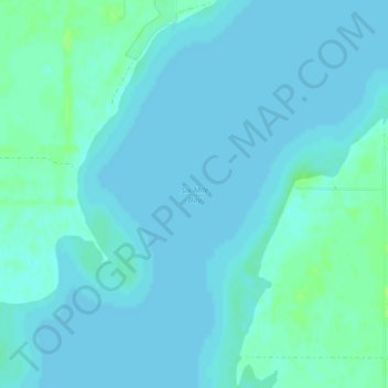
Name: Six Mile Bay topographic map, elevation, terrain.
Location: Six Mile Bay, Ramsey County, North Dakota, United States (48.10467 -99.02546 48.10477 -99.02536)
Average elevation: 442 m
Minimum elevation: 439 m
Maximum elevation: 449 m
Other topographic maps
Click on a map to view its topography, its elevation and its terrain.
Channel A
United States > North Dakota > Ramsey County > Grand Harbor
Channel A, Grand Harbor, Ramsey County, North Dakota, United States
Average elevation: 445 m
Devils Lake
United States > North Dakota > Ramsey County
Devils Lake, Ramsey County, North Dakota, 58301, United States
Average elevation: 443 m