
Gudibanda topographic map
Interactive map
Click on the map to display elevation.
About this map
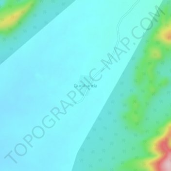
Name: Gudibanda topographic map, elevation, terrain.
Location: Gudibanda, Guntur, Andhra Pradesh, India (16.56919 79.98017 16.60919 80.02017)
Average elevation: 112 m
Minimum elevation: 71 m
Maximum elevation: 371 m