
Atienza topographic map
Interactive map
Click on the map to display elevation.
About this map
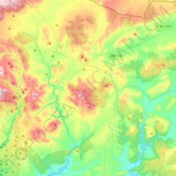
Name: Atienza topographic map, elevation, terrain.
Location: Atienza, Guadalajara, Castilla-La Mancha, 19270, España (41.05352 -2.96789 41.27447 -2.78249)
Average elevation: 1,083 m
Minimum elevation: 867 m
Maximum elevation: 1,447 m