
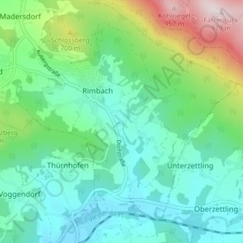
Wöhrmühle topographic map
Interactive map
Click on the map to display elevation.
About this map
Name: Wöhrmühle topographic map, elevation, terrain.
Location: Wöhrmühle, Rimbach, Landkreis Cham, Bayern, 93485, Deutschland (49.20314 12.87063 49.24314 12.91063)
Average elevation: 556 m
Minimum elevation: 413 m
Maximum elevation: 970 m