
Thank you for supporting this site ❤️
Make a donation
Make a donation
Aboretum topographic map
Click on the map to display elevation.
Thank you for supporting this site ❤️
Make a donation
Make a donation
About this map
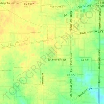
Name: Aboretum topographic map, elevation, terrain.
Location: Aboretum, Murray, Calloway County, Kentucky, United States (36.60319 -88.33220 36.60662 -88.32904)
Average elevation: 168 m
Minimum elevation: 150 m
Maximum elevation: 176 m
Thank you for supporting this site ❤️
Make a donation
Make a donation