
Thank you for supporting this site ❤️
Make a donation
Make a donation
Goose Island topographic map
Click on the map to display elevation.
Thank you for supporting this site ❤️
Make a donation
Make a donation
About this map
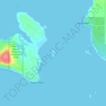
Name: Goose Island topographic map, elevation, terrain.
Location: Goose Island, San Juan County, Washington, United States (48.45703 -122.95785 48.45870 -122.95633)
Average elevation: 6 m
Minimum elevation: 0 m
Maximum elevation: 91 m
Thank you for supporting this site ❤️
Make a donation
Make a donation
Other topographic maps
Click on a map to view its topography, its elevation and its terrain.