
Songtuan topographic map
Interactive map
Click on the map to display elevation.
About this map
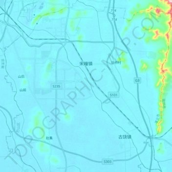
Name: Songtuan topographic map, elevation, terrain.
Location: Songtuan, Lieshan District, Huaibei, Anhui, China (33.74587 116.80467 33.89172 116.95512)
Average elevation: 41 m
Minimum elevation: 26 m
Maximum elevation: 332 m