
Plage de Bretteville topographic map
Interactive map
Click on the map to display elevation.
About this map
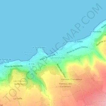
Name: Plage de Bretteville topographic map, elevation, terrain.
Average elevation: 39 m
Minimum elevation: 0 m
Maximum elevation: 136 m
Other topographic maps
Click on a map to view its topography, its elevation and its terrain.
Le Tôt de Haut
France > Normandie > Fermanville > Le Tôt de Haut
Le Tôt de Haut, Fermanville, Cherbourg, Manche, Normandie, France métropolitaine, 50840, France
Average elevation: 33 m