
Rocky Mountain topographic map
Interactive map
Click on the map to display elevation.
About this map
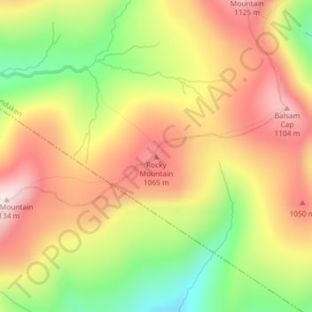
Name: Rocky Mountain topographic map, elevation, terrain.
Average elevation: 924 m
Minimum elevation: 691 m
Maximum elevation: 1,120 m
Other topographic maps
Click on a map to view its topography, its elevation and its terrain.
Dink
Vereinigte Staaten von Amerika > New York > Ulster County > Town of Shandaken
Dink, Town of Shandaken, Ulster County, New York, Vereinigte Staaten von Amerika
Average elevation: 906 m