
Thank you for supporting this site ❤️
Make a donation
Make a donation
Graham topographic map
Click on the map to display elevation.
Thank you for supporting this site ❤️
Make a donation
Make a donation
About this map
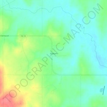
Name: Graham topographic map, elevation, terrain.
Location: Graham, Carter County, Oklahoma, 73437, United States (34.32064 -97.45447 34.36064 -97.41447)
Average elevation: 287 m
Minimum elevation: 264 m
Maximum elevation: 333 m
Thank you for supporting this site ❤️
Make a donation
Make a donation
Other topographic maps
Click on a map to view its topography, its elevation and its terrain.