
Thank you for supporting this site ❤️
Make a donation
Make a donation
Pratts Fork topographic map
Click on the map to display elevation.
Thank you for supporting this site ❤️
Make a donation
Make a donation
About this map
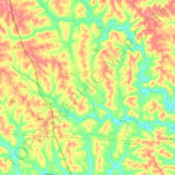
Name: Pratts Fork topographic map, elevation, terrain.
Location: Pratts Fork, Athens, Athens County, Ohio, United States (39.19658 -82.09134 39.23948 -81.97444)
Average elevation: 254 m
Minimum elevation: 203 m
Maximum elevation: 303 m
Thank you for supporting this site ❤️
Make a donation
Make a donation
Other topographic maps
Click on a map to view its topography, its elevation and its terrain.