
Majitha topographic map
Click on the map to display elevation.
About this map
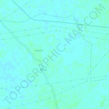
Name: Majitha topographic map, elevation, terrain.
Location: Majitha, Shahpura Tahsil, Jabalpur, Madhya Pradesh, India (23.17800 79.78052 23.19832 79.80048)
Average elevation: 383 m
Minimum elevation: 380 m
Maximum elevation: 386 m
Other topographic maps
Click on a map to view its topography, its elevation and its terrain.