
Arabaila topographic map
Interactive map
Click on the map to display elevation.
About this map
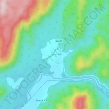
Name: Arabaila topographic map, elevation, terrain.
Location: Arabaila, Yallapura taluk, Uttara Kannada, Karnataka, India (14.82432 74.62438 14.86432 74.66438)
Average elevation: 153 m
Minimum elevation: 42 m
Maximum elevation: 444 m