
Mattakandy topographic map
Interactive map
Click on the map to display elevation.
About this map
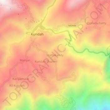
Name: Mattakandy topographic map, elevation, terrain.
Location: Mattakandy, Kundah, Nilgiris, Tamil Nadu, 643219, India (11.25335 76.63652 11.29335 76.67652)
Average elevation: 1,676 m
Minimum elevation: 1,024 m
Maximum elevation: 2,072 m