
Thank you for supporting this site ❤️
Make a donation
Make a donation
Jamtha topographic map
Click on the map to display elevation.
Thank you for supporting this site ❤️
Make a donation
Make a donation
About this map
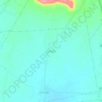
Name: Jamtha topographic map, elevation, terrain.
Location: Jamtha, Wardha, Maharashtra, 442004, India (20.65945 78.57035 20.69945 78.61035)
Average elevation: 264 m
Minimum elevation: 245 m
Maximum elevation: 353 m
Thank you for supporting this site ❤️
Make a donation
Make a donation