
Thank you for supporting this site ❤️
Make a donation
Make a donation
Chintapalle topographic map
Click on the map to display elevation.
Thank you for supporting this site ❤️
Make a donation
Make a donation
About this map
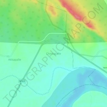
Name: Chintapalle topographic map, elevation, terrain.
Location: Chintapalle, Chennur mandal, Mancherial, Telangana, India (18.86083 79.80938 18.90083 79.84938)
Average elevation: 120 m
Minimum elevation: 97 m
Maximum elevation: 174 m
Thank you for supporting this site ❤️
Make a donation
Make a donation
Other topographic maps
Click on a map to view its topography, its elevation and its terrain.