
Kelwamen topographic map
Interactive map
Click on the map to display elevation.
About this map
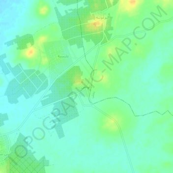
Name: Kelwamen topographic map, elevation, terrain.
Average elevation: 30 m
Minimum elevation: 20 m
Maximum elevation: 48 m
Other topographic maps
Click on a map to view its topography, its elevation and its terrain.
Blidet
Tunisie > Gouvernorat Kébili > Ben Mehemed
Blidet, Ben Mehemed, Délégation Kébili Sud, Gouvernorat Kébili, 4243, Tunisie
Average elevation: 24 m