
Shaikh Saad topographic map
Interactive map
Click on the map to display elevation.
About this map
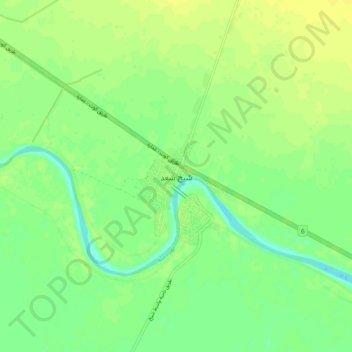
Name: Shaikh Saad topographic map, elevation, terrain.
Average elevation: 15 m
Minimum elevation: 5 m
Maximum elevation: 22 m
Other topographic maps
Click on a map to view its topography, its elevation and its terrain.
Al-Kut
Iraq > Wasit Governorate > Al-Kut
Al-Kut, Al-Kut Central Subdistrict, Al-Kut District, Wasit Governorate, 52002, Iraq
Average elevation: 19 m