
Gurunāthpuram topographic map
Interactive map
Click on the map to display elevation.
About this map
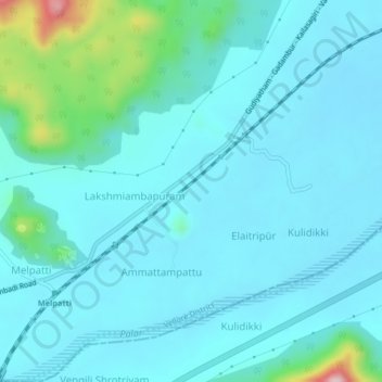
Name: Gurunāthpuram topographic map, elevation, terrain.
Average elevation: 318 m
Minimum elevation: 277 m
Maximum elevation: 585 m
Other topographic maps
Click on a map to view its topography, its elevation and its terrain.
Paradarami
India > Tamil Nadu > Gudiyatham
Paradarami, Gudiyatham, Vellore District, Tamil Nadu, 632603, India
Average elevation: 422 m
Gudiyatham
India > Tamil Nadu > Gudiyatham > Gudiyatham
Gudiyatham, Vellore District, Tamil Nadu, 635803, India
Average elevation: 294 m
Pernampattu
India > Tamil Nadu > Gudiyatham
Pernampattu, Gudiyatham, Vellore District, Tamil Nadu, 635810, India
Average elevation: 425 m