
Kennedy topographic map
Interactive map
Click on the map to display elevation.
About this map
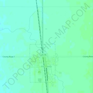
Name: Kennedy topographic map, elevation, terrain.
Location: Kennedy, Kittson County, Minnesota, United States (48.63619 -96.91632 48.65913 -96.90434)
Average elevation: 251 m
Minimum elevation: 247 m
Maximum elevation: 255 m