
Grauspitz topographic map
Interactive map
Click on the map to display elevation.
About this map
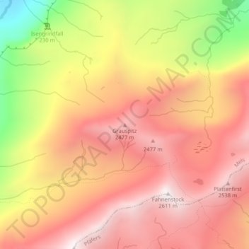
Name: Grauspitz topographic map, elevation, terrain.
Location: Grauspitz, Mels, Wahlkreis Sarganserland, Sankt Gallen, Schweiz (46.94962 9.28619 46.94972 9.28629)
Average elevation: 2,139 m
Minimum elevation: 1,397 m
Maximum elevation: 2,581 m