
Thank you for supporting this site ❤️
Make a donation
Make a donation
Piphema topographic map
Click on the map to display elevation.
Thank you for supporting this site ❤️
Make a donation
Make a donation
About this map
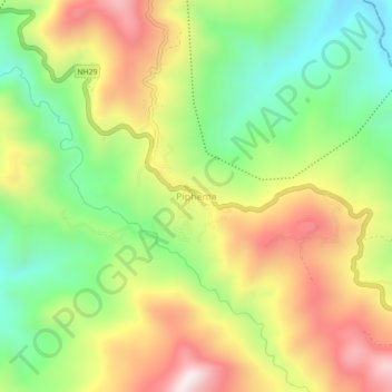
Name: Piphema topographic map, elevation, terrain.
Location: Piphema, Medziphema, Chümoukedima, Nagaland, India (25.73096 93.93940 25.77096 93.97940)
Average elevation: 854 m
Minimum elevation: 531 m
Maximum elevation: 1,240 m
Thank you for supporting this site ❤️
Make a donation
Make a donation