
Seetharam Thanda topographic map
Interactive map
Click on the map to display elevation.
About this map
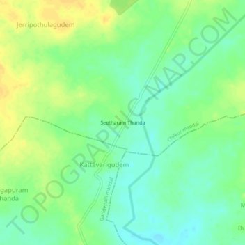
Name: Seetharam Thanda topographic map, elevation, terrain.
Location: Seetharam Thanda, Chilkur mandal, Suryapet, Telangana, India (16.93106 79.81082 16.97106 79.85082)
Average elevation: 116 m
Minimum elevation: 104 m
Maximum elevation: 128 m